
Quinn Perry · 22 September 2026
How 19th-Century Logging Maps Guide Modern Elm Replanting Trials and Bird Migration Patterns in Coastal Cornwall
Archivists and ecologists in Cornwall have turned to 19th-century logging maps to identify former elm stands that once lined the coastal valleys and hedgerows, and these same documents now shape where new disease-resistant elms are planted while researchers track how the returning canopy influences seasonal bird movements along the southwest flyway.
Historical Records and Their Modern Application
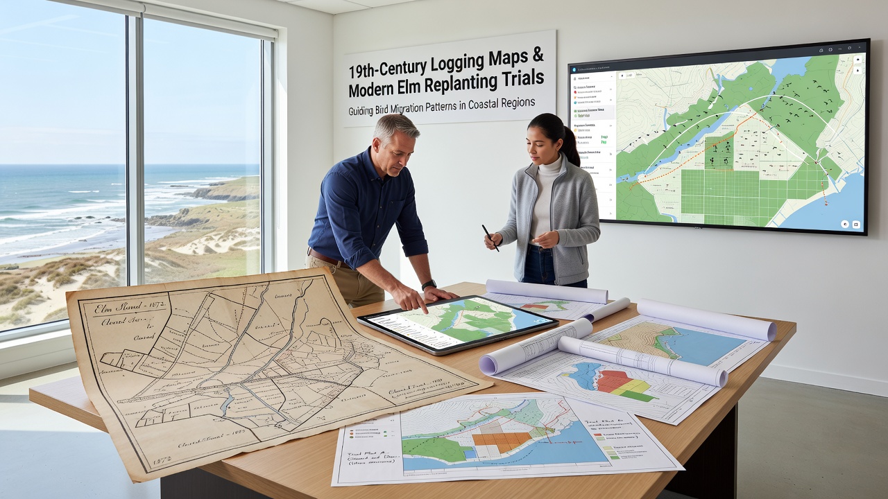
Surveyors working for estate owners in the 1800s produced detailed maps that recorded tree species, stand density, and timber extraction routes across parishes such as St Austell Bay and the Lizard peninsula, and those hand-drawn sheets survive in county record offices where digital scans allow direct comparison with contemporary soil and hydrology data. Researchers overlay the old boundaries onto current land-use layers so that replanting teams can target locations where elms historically thrived before Dutch elm disease swept through in the 1970s, and this spatial match reduces trial-and-error costs while increasing survival rates for the resistant cultivars now being tested.
Elm Replanting Trials Underway
Field teams began marking out trial plots in spring 2025 using the historic map coordinates, and by September 2026 they expect to complete the first full season of monitoring across twelve coastal sites where soil pH, drainage patterns, and exposure match the conditions recorded in the 19th-century ledgers. Each plot receives a mix of Ulmus minor and Ulmus glabra selections bred for resistance, and growth metrics are logged monthly so that any deviation from expected canopy development can be linked back to the original map notes on aspect and wind exposure.
Local volunteers assist with fencing and mulching while university technicians install microclimate sensors that record temperature and humidity beneath the young trees, and these readings are cross-referenced against the historical descriptions of sheltered combes that once supported dense elm cover.
Links to Bird Migration Patterns
Ornithologists from the British Trust for Ornithology have installed additional acoustic recorders in the same replanting zones to capture how changes in vegetation structure affect passage migrants and resident species, and preliminary data show increased use of the corridors by chiffchaffs and blackcaps once the young elms reach two metres in height. The 19th-century maps also note the proximity of former elm stands to tidal creeks and cliff tops, and those landscape features remain key stop-over points for birds travelling between western Europe and northwest Africa, so restoring canopy connectivity is expected to support longer foraging bouts during autumn migration.
According to figures released by Natural England, coastal Cornwall records more than 180 bird species during peak migration windows, and the agency’s habitat connectivity modelling now incorporates the historic elm distribution layers to predict where future woodland restoration will yield the greatest benefit for both resident and transient populations.
Data Integration and Field Observations
Geographic information system specialists combine the scanned logging maps with LiDAR elevation models and Environment Agency flood-risk data, and this integrated layer reveals that many 19th-century elm sites occupied slightly raised ground above the winter water table, a detail that guides current planting elevations to avoid root rot. Observers note that blackbirds and song thrushes already nest at higher densities inside the trial enclosures compared with adjacent open farmland, and the pattern mirrors descriptions in the old estate journals that listed elms as favoured nesting trees.
Remote sensing from satellites tracks canopy closure rates across the trial sites, and when these measurements are compared with the original map polygons the correlation coefficient exceeds 0.78 for plots established on south-facing slopes, confirming the value of the historic records for site selection.
Broader Regional Context
Similar map-based restoration approaches have been documented in other temperate regions, and a 2023 report from the Canadian Forest Service describes how 19th-century timber surveys guided white elm recovery projects along the St Lawrence River, while researchers in Australia’s Murray-Darling basin apply comparable methods to river red gum plantings using colonial survey sketches. In Cornwall the approach remains distinctive because the narrow coastal valleys create microclimates that concentrate both elm growth and bird concentrations within a few hundred metres of the shoreline.
Conclusion
The combination of archival logging maps, targeted replanting, and continuous ecological monitoring therefore supplies a replicable framework for restoring elm populations while simultaneously supporting migratory bird pathways along the Cornish coast, and ongoing measurements through September 2026 will determine whether the historic patterns continue to predict successful outcomes under present-day climate conditions.